GLY 4948 Field Mapping Techniques
USF Department of Geology Field Camp Website
The geologic field mapping course is a two week program designed to introduce students to the techniques needed to generate geologic maps. The course is offered every summer and is co-taught by Drs. Charles Connor and Paul H. Wetmore. The location and focus of the course changes from year to year to keep things fresh and interesting, as well as to afford students the opportunity to take the course multiple times without having to repeat exercises. We start with the basics, learning to use topographic maps and locate one's self in the field, and work, through multiple mapping exercises, to the point where students can collect structural data and construct a field map on their own. In the summer of 2006 we held field camp in the Mojave Desert and the White/Inyo Mountains in late June. Our map projects included Rainbow Basin (north of Barstow, CA), Powerline Hills at the north end of the Clark Mountians, in the Shadow Mountains, and the Poleta Folds on the west side of Deep Springs Valley in east-central California. During the summer of 2007 the field camp was held in east-central Utah and included mapping exercises such as the Moab Fault, Salt Valley anticline, and Tracyte Mesa sill/laccolith of the Henry Mountains.
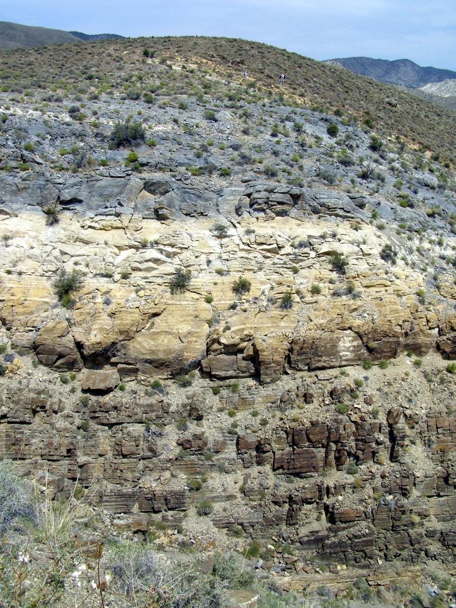
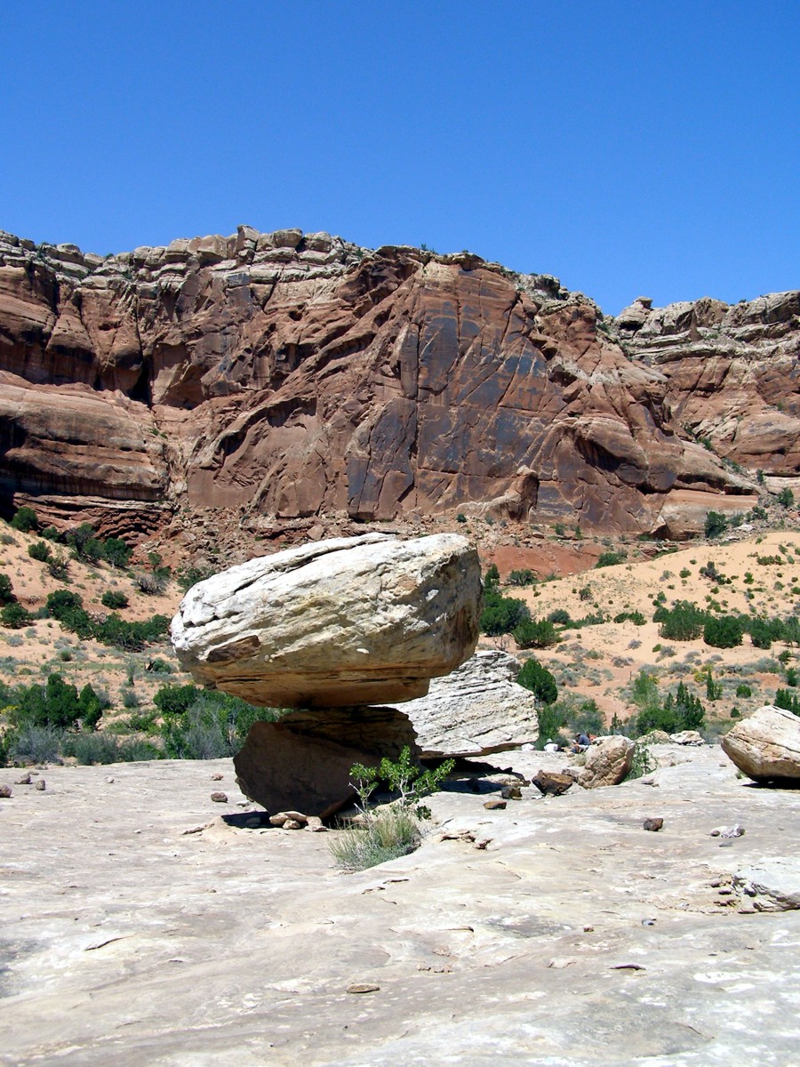
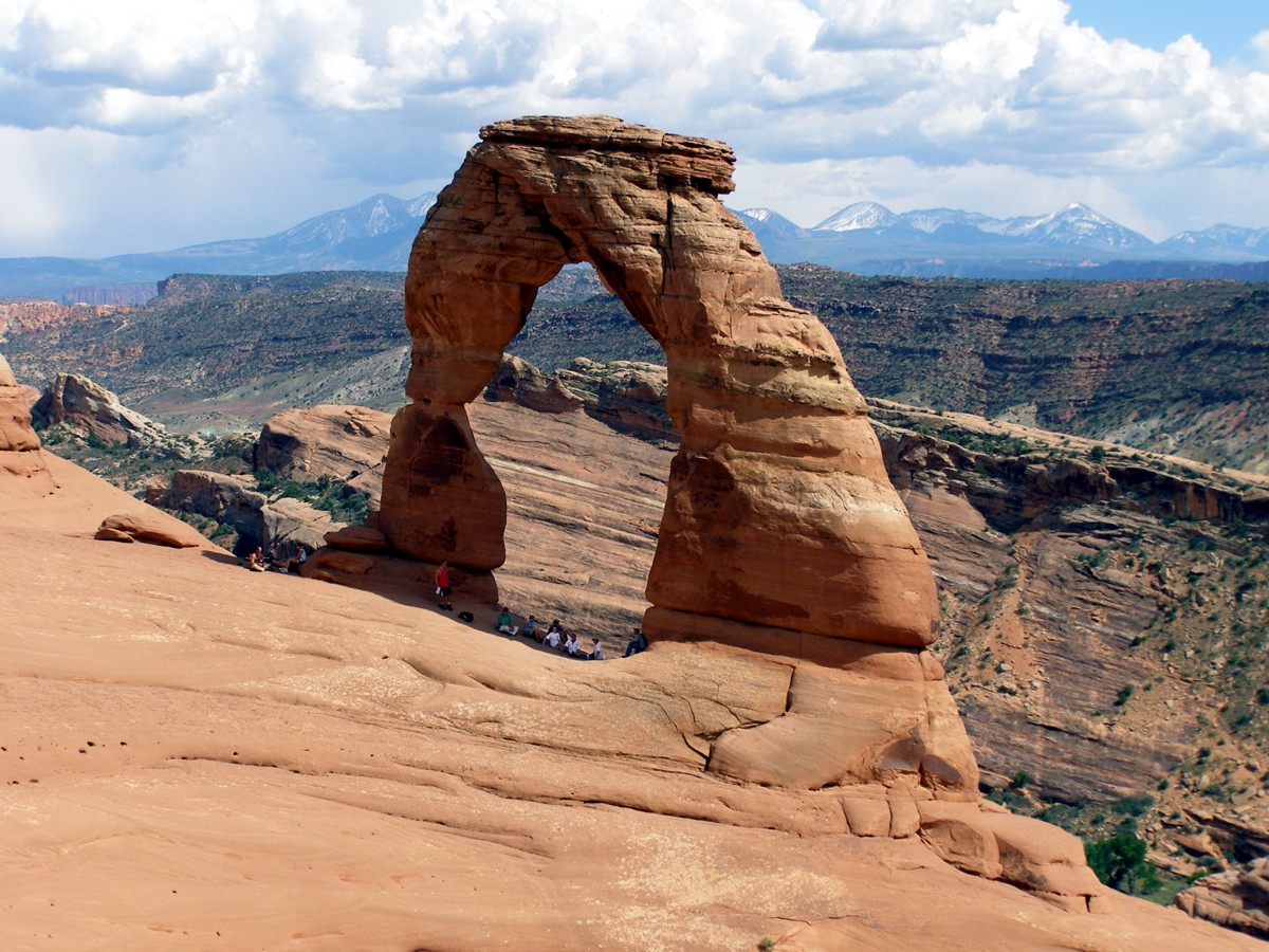
Some Photos From Past Years
 |
 |
 |
|
 |
 |
 |
 |
 |
 |
 |
 |
 |
 |
 |
 |

![]()